The Source and the Survey
The Orinoco begins on the slopes of the Sierra Parima, a remote highland straddling the Venezuelan-Brazilian border at roughly 1,047 metres above sea level. Its source was formally located during a 1951 Venezuelan-French joint expedition, which fixed the origin at a small rivulet on the southern face of the Sierra Parima massif. The French geographer and botanist Francis Ruellan led the field party; the coordinates were subsequently incorporated into Venezuelan official cartography and have been accepted by the country's hydrological institutions ever since. What pours from that hillside ultimately travels 2,140 kilometres before dispersing into the Atlantic through the braided channels of the delta on the northeastern coast — a journey that crosses virtually every major ecological zone Venezuela possesses.
The river's course traces a broad arc. From the Sierra Parima it runs roughly northwestward, then turns north and finally northeast, cutting across the Guiana Highlands, skirting the Llanos and collecting drainage from both the Andes and the ancient Precambrian plateau before fanning apart in the Orinoco Delta. This arc is not incidental. It corresponds almost precisely to the country's topographic logic: the Andes to the west, the Guiana Highlands to the south and east, the flat savanna plain between them, and the sea at the end. The Orinoco sits at the seam of all of it.
The Tributaries That Build the System
The Orinoco's drainage basin covers approximately 880,000 square kilometres, encompassing much of Venezuelan territory and extending into Colombia. That basin is assembled from a hierarchy of tributaries whose combined discharge makes the Orinoco one of the largest rivers by volume in South America.
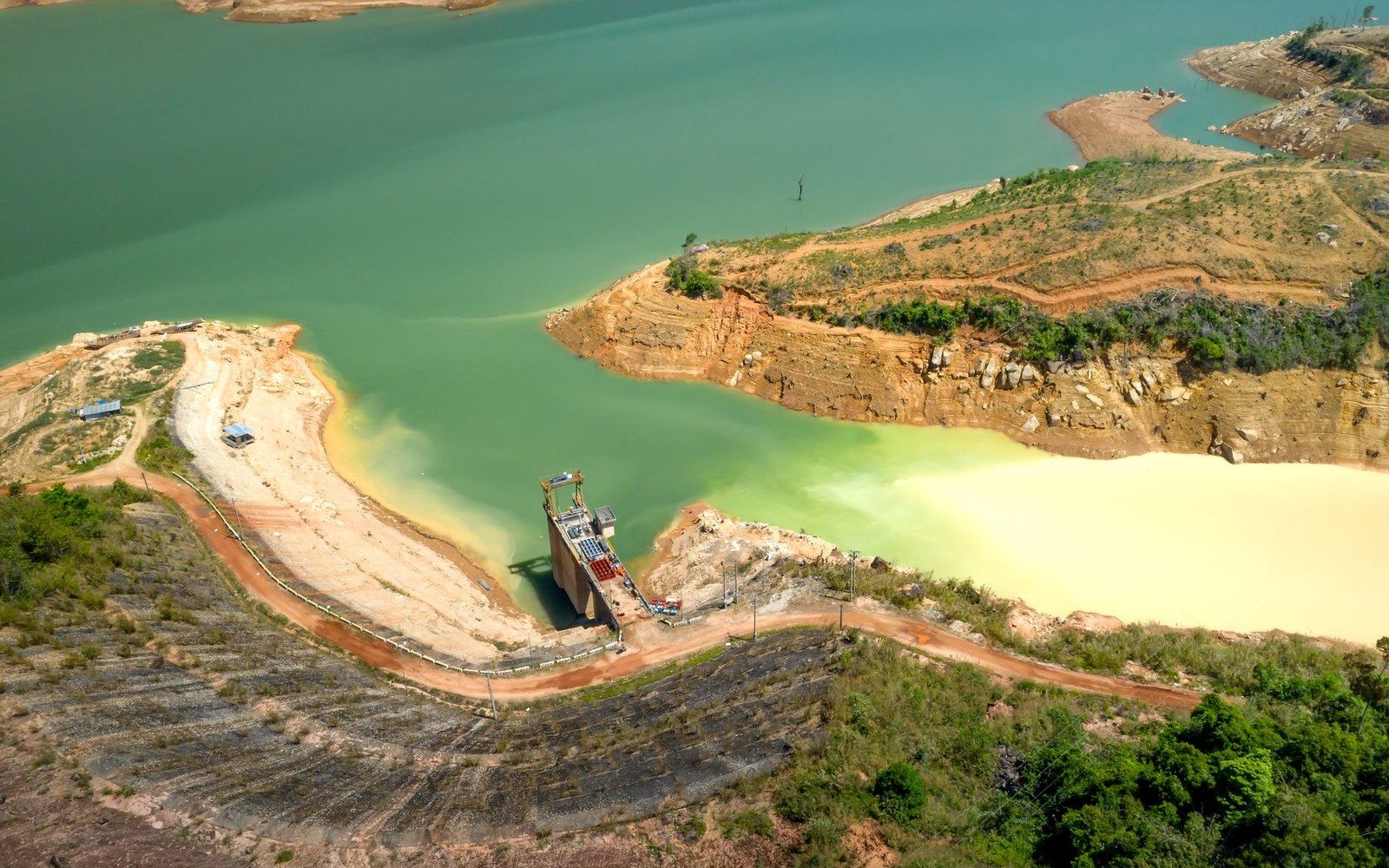
The Caroní is the most significant right-bank tributary. Rising in the Guiana Highlands near the Gran Sabana, it joins the Orinoco just downstream of Ciudad Bolívar, near Puerto Ordaz and contributes a mean annual discharge that, during the wet season, can rival the main stem in flow rate. The Caroní drains the tepui country — those ancient flat-topped mesas of Precambrian sandstone — and carries the characteristic dark, tannin-stained water of that formation. Its hydroelectric potential has been extensively developed at the Guri Dam complex, commissioned in stages from 1969 to 1986, which became one of the largest hydroelectric installations in the world.
The left-bank tributaries draw from the opposite side of the country entirely. The Apure, which drains the western Llanos and receives the waters of the Venezuelan Andes via the Portuguesa and Barinas sub-basins, is the most voluminous. It enters the Orinoco near the town of Caicara after traversing more than 1,000 kilometres of seasonally inundated savanna. The Arauca and the Meta, both of which rise in the Colombian Andes, also contribute significant volumes through Venezuela's western flank. Together, the left-bank rivers deliver the Andean snowmelt and rainfall that amplifies the Orinoco's discharge through the wet season to extraordinary levels.
The Casiquiare deserves particular mention for reasons of geographical singularity. This natural channel, approximately 335 kilometres long, branches from the upper Orinoco near the village of Tamatama and connects it southward to the Negro River and thence to the Amazon. It is the only natural waterway on Earth that links two major continental drainage systems without any human intervention — a bifurcation that Alexander von Humboldt confirmed and measured during his 1799–1800 expedition and that modern hydrology has not displaced. The Casiquiare's existence means the Orinoco is, strictly speaking, hydrologically connected to the Atlantic via two separate routes: its own delta in the northeast, and the Amazon's mouth in Brazil.
Discharge, Seasonality and Scale
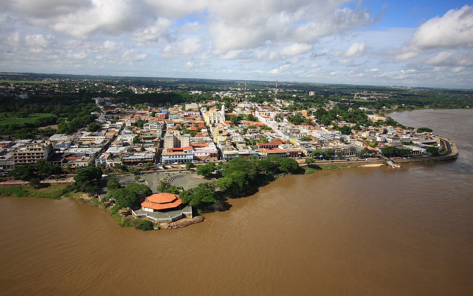
The Orinoco's seasonal rhythm is extreme. At its gauging station near Ciudad Bolívar — the point where the river narrows through the old colonial town formerly known as Angostura — the mean annual discharge is approximately 30,000 cubic metres per second. That figure, drawn from Venezuelan hydrological records and corroborated by USGS assessments of South American river systems, places the Orinoco fourth among the world's rivers by mean annual discharge, behind the Amazon, the Congo and the Ganges-Brahmaputra system.
The seasonal variation around that mean is dramatic. In the dry season, from December through March, discharge at Ciudad Bolívar can fall below 10,000 cubic metres per second. By August, at the peak of the wet season, flows regularly exceed 60,000 cubic metres per second, inundating the Llanos — those vast tropical savannas of Venezuela and Colombia — to depths that transform hundreds of thousands of square kilometres of grassland into shallow inland sea. The line between river and plain effectively dissolves. Capybara, caiman and river dolphins move through what was recently cattle pasture; herons and jabiru storks follow the flood edge. The Llanos is inseparable from the river that makes it.
The Spine of a Country
The Orinoco's claim to be Venezuela's organisational spine rests on more than its length. The great majority of the country's inland settlement historically clustered either on the river itself or on tributaries navigable back to it. Ciudad Bolívar — once the strategic narrows from which Simón Bolívar coordinated republican campaigns across the interior — controlled the river's narrowest navigable point and served as the commercial gateway to the Guiana region for two centuries. The cattle economy of the Llanos moved along the Apure and Arauca to reach the main stem. The timber and rubber trades of the upper basin were carried downriver to market.
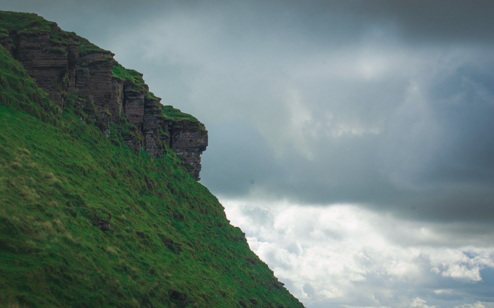
The ecological argument reinforces the organisational one. The Orinoco basin holds an extraordinary concentration of species diversity: more than 1,000 documented freshwater fish species within the drainage, according to Venezuelan ichthyological surveys, including the Orinoco crocodile, the Orinoco river dolphin and endemic electric eel populations. The várzea — seasonally flooded tropical forest along the river's margins — constitutes a distinct and irreplaceable habitat type. The basin also hosts substantial populations of the scarlet macaw and sustains the capybara densities of the Llanos that no other ecosystem on the continent matches.
From the trickle on the Sierra Parima slope to the Atlantic dispersal across some 36,000 square kilometres of delta, the Orinoco is measurable, mappable and very large. It is also the fact from which Venezuelan geography, in almost every direction, follows.