The Hydraulics of a River's End
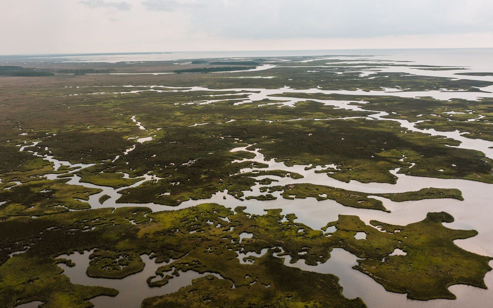
After 2,140 kilometres from its source on the Sierra Parima, the Orinoco does not so much meet the Atlantic as dissolve into it. East of Barrancas, the river splits into a braided network of distributaries — caños, in the local usage — fanning across roughly 36,000 km² of low-lying coastal plain. The principal navigable arm, the Caño Macareo, and the main shipping channel, the Río Grande, are the best-documented passages through a system that includes dozens of active distributaries shifting with sediment load and seasonal discharge. Annual freshwater output into the Gulf of Paria and the open Atlantic ranks among the largest on earth, and the plume of suspended sediment is detectable in NASA satellite imagery hundreds of kilometres offshore.
The landscape the delta builds is layered. Closest to the main caños, várzea — seasonally flooded tropical forest — gives way inland to permanent mangrove stands dominated by Rhizophora mangle and Avicennia germinans, whose aerial root systems trap sediment and stabilise the youngest land. Behind these, slightly elevated moriche palm (Mauritia flexuosa) groves define the drier interfluvial ridges, the only ground that remains above water through the flood peak.
The Warao and the Caños
The delta is the documented homeland of the Warao, one of the largest indigenous groups in Venezuela, whose name translates approximately as "boat people" — a designation earned by a settlement pattern organised entirely around water. Warao communities build on stilts over the caños rather than on dry ground, using the moriche palm as a structural, dietary and ritual resource simultaneously. Ethnographic surveys have recorded more than thirty documented uses of Mauritia flexuosa in Warao material culture, from starch extraction to basketry fibre to house timber. Settlement is dispersed along channel banks rather than nucleated, with movement by dugout canoe as the functional equivalent of roads.
Protected Status
The delta's ecological significance is recognised through the Delta del Orinoco Biosphere Reserve, designated by UNESCO under its Man and the Biosphere Programme, and through the Mariusa National Park, administered by INPARQUES, which protects the northernmost portion of the delta's mangrove and estuarine habitats. The reserve's dual-layer protection reflects the delta's role as nursery habitat for Atlantic fish stocks, staging ground for migratory waterbirds, and one of the most extensive mangrove systems remaining on the South American coast.