The Channel and Its Direction
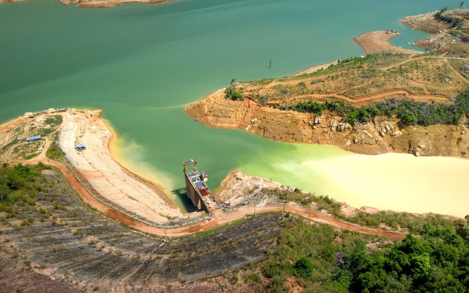
The Casiquiare canal is not a canal in any engineered sense. It is a natural distributary — a branch of the Upper Orinoco that peels southwest from the main stem near the Venezuelan settlement of Tamatama, flows for approximately 335 kilometres through lowland rainforest, and joins the Río Negro, itself a major tributary of the Amazon. The result is something without parallel among the world's natural waterways: a permanent, navigable connection between two separate continental drainage basins.
Flow in the Casiquiare runs from the Orinoco toward the Amazon system, not the reverse. This direction surprised early European observers, who expected the watershed to behave as a conventional divide. In fact the terrain through which the channel passes is so flat — much of it barely above the surrounding floodplain — that the Orinoco simply shares a portion of its discharge southward. The channel is widest and fastest during the high-water season, when Orinoco levels rise and push more volume into the bifurcation. During low water it narrows but does not reverse. The hydrology is stable and has been documented consistently across surveys separated by decades.
Humboldt, Bonpland and the Confirmation
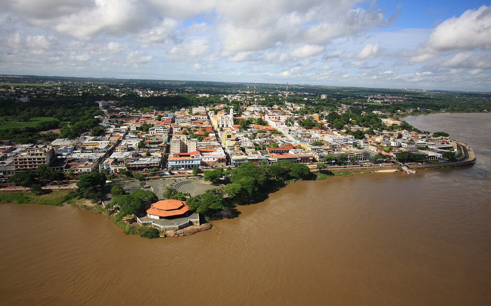
The Humboldt–Bonpland expedition of 1799–1804 reached the Casiquiare in 1800. Alexander von Humboldt and Aimé Bonpland descended the channel by canoe from the Upper Orinoco to the Río Negro and back, taking measurements of position, water temperature and current throughout. Humboldt's meticulous readings established the channel's coordinates with enough precision to settle, in the terms European natural philosophy then required, a question that Portuguese and Spanish colonial accounts had circled for nearly a century: yes, the two basins were connected; yes, the water moved from Orinoco to Amazon; and yes, the Indigenous peoples of the region had navigated this route routinely long before any European had written it down.
Humboldt himself acknowledged this explicitly, recording that local knowledge of the bifurcation predated any European survey. His contribution was instrumental rather than foundational — the instruments and the published record were new; the fact itself was not.
The Casiquiare appeared on European maps with growing confidence after Humboldt's published accounts circulated in the early nineteenth century. Its scientific significance — as evidence that drainage divides could be permeable and that a single river could simultaneously feed two separate ocean-bound systems — gave it a place in geographic theory that outlasted the expedition itself.
What the Hydrology Means
The Casiquiare sits within one of the most biogeographically complex junctions on Earth. Because the channel links two massive basins, it functions as a corridor for aquatic species moving between systems that would otherwise be separated by the continental watershed. Fish species recorded in both the Orinoco and Amazon drainage systems include several whose range appears to have expanded or been maintained via exactly this kind of inter-basin connection — though the precise role of the Casiquiare in any individual species' distribution is a subject of continuing research.
The watershed in this part of southern Venezuela falls within the broader Guiana Highlands region, where Precambrian bedrock shapes large-scale drainage patterns even as the surface relief stays low. The Upper Orinoco at the bifurcation point is already deep in the interior; Tamatama lies roughly 230 kilometres south of the confluence with the Ventuari, one of the Orinoco's major right-bank tributaries. The remoteness is structural — this is the headwater zone, and the Casiquiare's peculiarity is inseparable from it.
No other river on the planet performs this function at this scale between two basins of comparable size. The Amazon and the Orinoco together drain roughly a third of South America. Between them, unasked and unremarkable to those who lived along it, a channel roughly the length of Britain's longest river has been moving water from one to the other for as long as the present drainage pattern has existed.