The Geometry of the Place
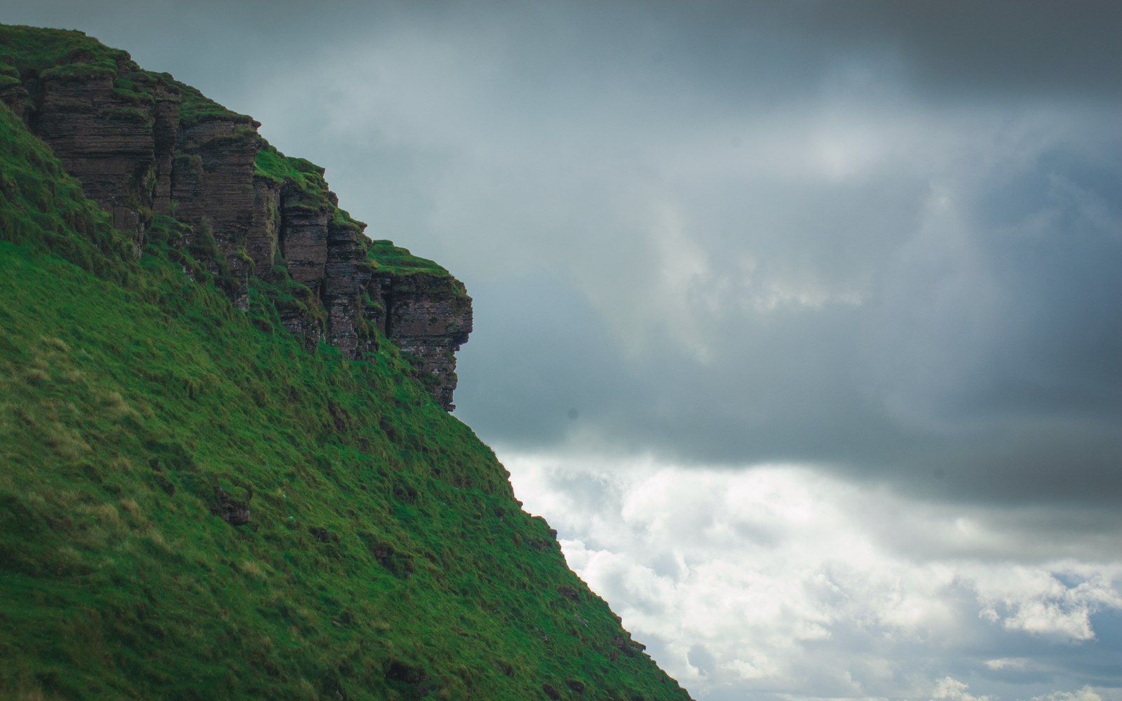
Mount Roraima rises at the meeting point of Venezuela, Guyana and Brazil — one of the most precisely documented tri-border summits on Earth. Its plateau sits at approximately 2,810 metres above sea level, reached by a sheer vertical escarpment on every side. The cliff face is not merely steep: it is, in most places, genuinely vertical, the result of differential erosion acting over roughly two billion years on the ancient Precambrian quartzite and sandstone of the Guiana Highlands. Softer rock below has long since washed away; what remains is the hard quartzite cap, standing like a table lifted above the surrounding forest.
The sandstone formation beneath Roraima belongs to the Roraima Group, a sequence of Proterozoic sedimentary rock laid down in a shallow sea and later uplifted during the assembly of the South American craton. Rain, heat and time did the rest: the tepui — a flat-topped mesa plateau of the Guiana Highlands — emerged as erosion stripped the surrounding material, leaving isolated summits separated by kilometres of open air. Roraima is the best known and most visited of them, and it lies within Canaima National Park on the Venezuelan side, a UNESCO World Heritage Site listed in 1994.
The Plateau Surface and Its Ecology
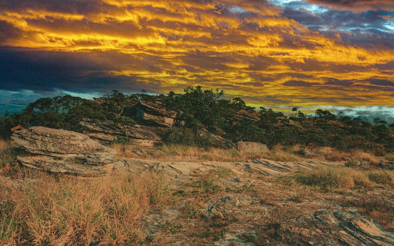
The summit plateau is not the bleak rock shelf it appears from below. It receives substantial rainfall — clouds frequently swallow it entirely — and its surface is a mosaic of flooded depressions, black sandy soils leached almost free of nutrients, bare quartzite outcrops and shallow pools. The conditions are among the most chemically impoverished of any terrestrial environment: the rock yields almost nothing to plant roots, and the near-constant cloud and wind add further constraint.
What survives in this environment has, in many cases, survived nowhere else. Roraima's summit carries a significant proportion of endemic flora — species found on the summit and on closely related tepuis, and nowhere in the lowlands below. Carnivorous plants thrive here precisely because the soil offers so little: sundews of the genus Drosera and bladderworts of the genus Utricularia supplement their nutrient intake by trapping insects. The bromeliad genus Brocchinia, unusual for including carnivorous members, is documented on the summit. Various orchid and sedge species complete a plant community shaped entirely by isolation and nutrient poverty rather than by competition with the species-rich forests far below.
The fauna of the plateau is similarly distinctive. The Roraima bush toad (Oreophrynella quelchii), recorded from the tepui summits of the Guiana Highlands, is assessed by the IUCN as a threatened species, a reflection of its restricted range. Small tree frogs of the genus Tepuihyla are similarly restricted. These animals are not relict populations cut off by a catastrophe: they are the permanent, adapted residents of an ancient island in the air.
The First Recorded Ascent
For most of the nineteenth century, Roraima's escarpment repelled every attempt to reach the summit. The barrier was not distance or altitude but sheer rock: from the most accessible approach, the cliff offered no obvious route. Everard im Thurn, a British botanist based in Guyana, solved the problem in December 1884 by locating a ramp on the Venezuelan flank — a sloping buttress where the escarpment is broken enough to permit scrambling. He reached the plateau on 18 December 1884 alongside Harry Perkins, making the first documented ascent of the summit.
Im Thurn's account, published in the Proceedings of the Royal Geographical Society, described a plateau surface that matched almost nothing in the botanical experience of his time: the endemic flora, the flooded black substrate, the clouds moving through at eye level. His botanical collections from the summit were among the first specimens of Roraima's endemic plants to reach European herbaria. The ascent itself inspired Arthur Conan Doyle's 1912 novel The Lost World, though Doyle set his fiction considerably further into the fantastic than im Thurn's measured prose ever ventured.
The route im Thurn identified — approaching from the Venezuelan side through the Gran Sabana — remains the documented standard approach to the summit to this day.