Emba Venez UK·Land & Water
Land & Water
The documented physical geography of Venezuela — plateaus, rivers, plains and coasts, measured and attributed.
6 pages in Land & Water
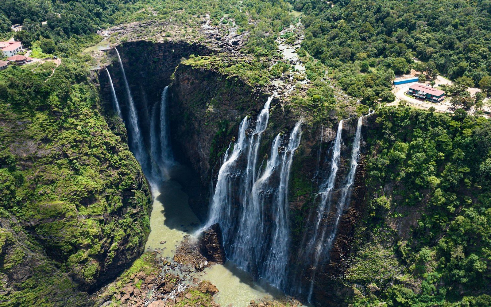
Full index- The Wall the Water Falls OffAt 979 metres total and 807 metres of uninterrupted free fall, Angel Falls is the tallest waterfall in the world — a direct consequence of how the Guiana Highlands were…Key measurements · 7 entries
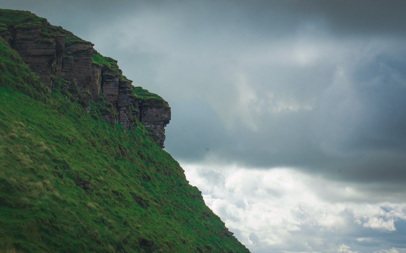 Roraima's Cliff and What Grows on TopA plateau shared by three countries, where the sandstone is two billion years old and the plants have nowhere else to go.Key measurements · 4 entries
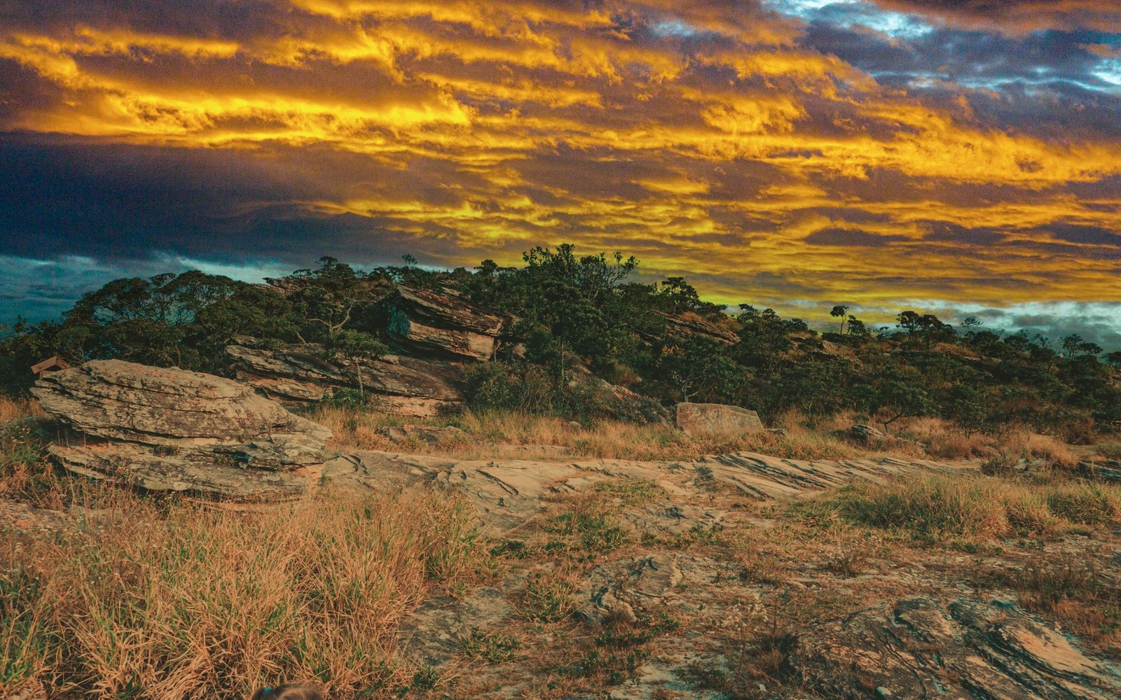 Red Rock, Black Water, Yellow GrassThe Gran Sabana is one of the oldest exposed surfaces on Earth — a Precambrian tableland where jasper bleeds red into near-black rivers and dry-season fires keep the…Key measurements · 5 entries
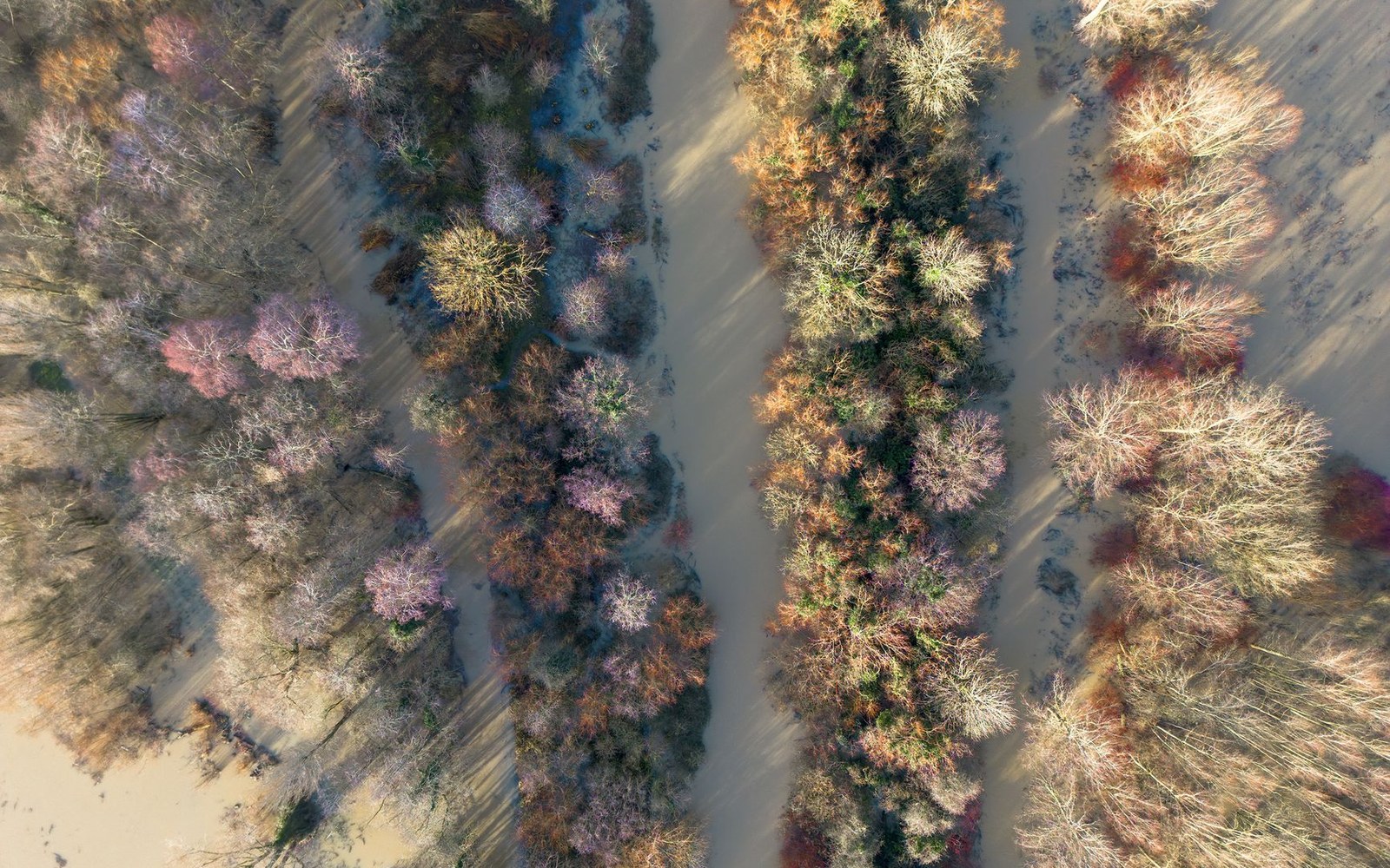 Six Months Dry, Six Months GoneThe Orinoco's vast drainage plain switches between cracked clay and inland sea on a precise seasonal clock — and the species that live there have no choice but to keep…Key measurements · 4 entries
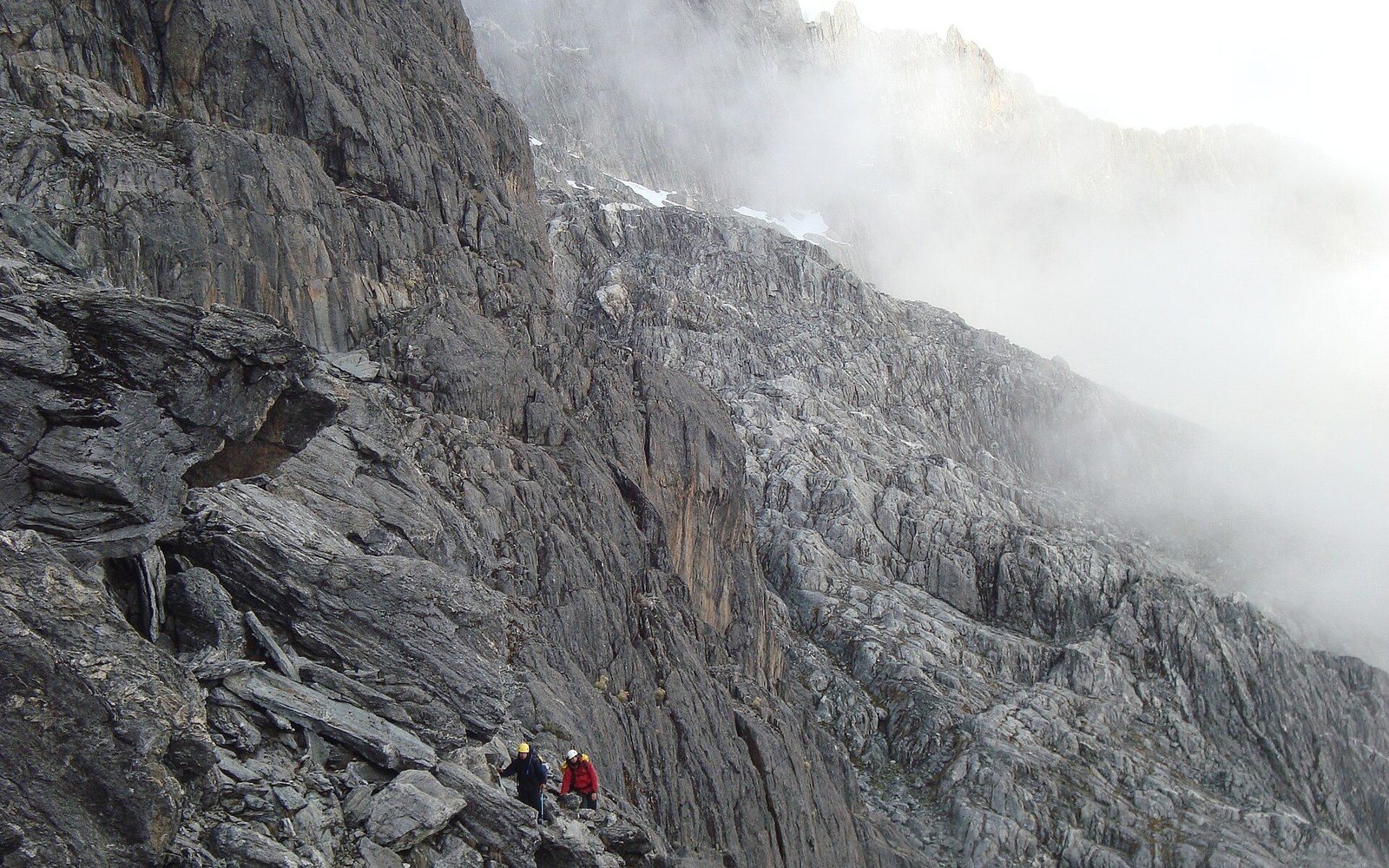 4,978 Metres, and a Cable Car Since 1960Venezuela's highest summit stands at the end of a four-stage cable car built in the Andes — a piece of engineering that has measured out the páramo ecosystem one station…Key measurements · 9 entries
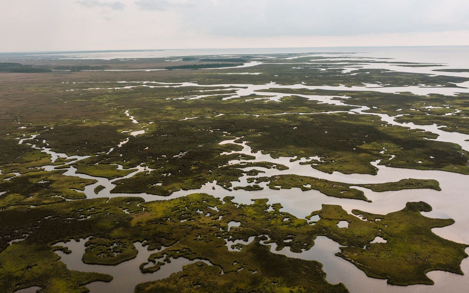 Where the Orinoco Comes ApartFrom a single great river to forty thousand square kilometres of braided channel, mangrove and flooded forest — the Orinoco delta is where a continent drains into the…Key measurements · 4 entries
What the numbers look like next to each other
Four of them, where they actually are
Maps- Orinoco deltaWhere the Orinoco Comes Apart
- Angel FallsThe Wall the Water Falls Off
- Gran SabanaRed Rock, Black Water, Yellow Grass
- Mount RoraimaRoraima's Cliff and What Grows on Top
The other sections
- Tepuis3 pages
- Rivers3 pages
- Maracaibo3 pages
- Coasts3 pages
- Species6 pages
- Built & Played6 pages
- The Record7 pages