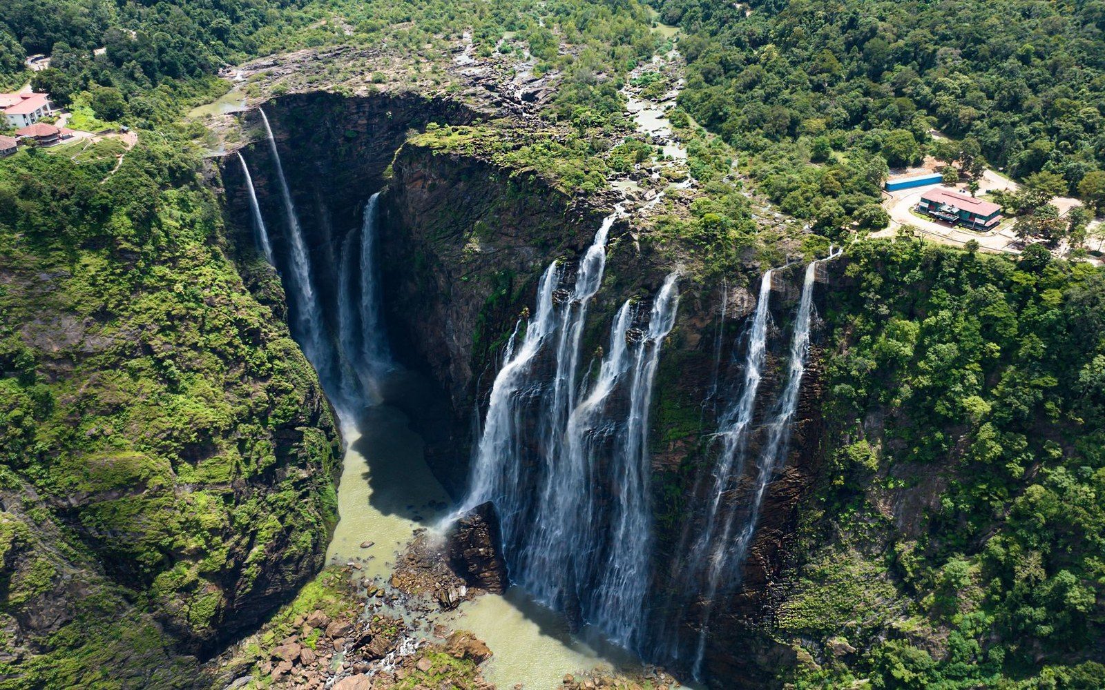
The Edge of an Ancient Plateau
Auyán-tepui sits inside Canaima National Park, a protected area of approximately 30,000 km² in the state of Bolívar that UNESCO inscribed as a World Heritage Site in 1994. The park covers a section of the Guiana Highlands, one of the oldest geological formations on Earth, where Precambrian sandstone and quartzite — laid down roughly two billion years ago and then lifted, fractured and stripped by erosion across immense spans of time — now stand as flat-topped mesa plateaus called tepuis. Each tepui is, in effect, a stranded island of ancient rock whose softer surrounding material long since disappeared. Auyán-tepui is among the largest of them: its summit plateau covers approximately 700 km², a highland terrain of boggy grassland, stunted vegetation and near-permanent cloud, bounded on every side by vertical walls that drop to the forest floor of the Gran Sabana.
It is one of those walls that produces Angel Falls. A stream on the summit drains water across the plateau, carrying the run-off of the tepui's frequent and heavy rainfall toward the edge. At the cliff, the drainage simply runs out of rock. There is no slope, no cascade over a gradual face — the plateau ends in a sheer escarpment, and the water launches into open air. That is the defining condition of free fall as applied to waterfall measurement: uninterrupted vertical descent with no contact with the rock face. For 807 of its 979 total metres, the water column of Angel Falls meets nothing solid at all. The remaining drop below the main fall consists of a series of lower cascades and rapids before the water joins the Churún and eventually the Caroní River system.
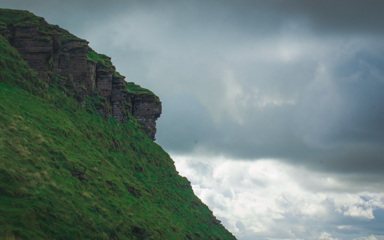
Measurement and the Question of Height
The total height of 979 metres and the free-fall figure of 807 metres are the figures cited by the United States Geological Survey and have become the standard international reference. They originate from surveys conducted after sustained attention to the falls in the mid-twentieth century. The figures are not in dispute among geographic authorities, and UNESCO's designation of Canaima as a World Heritage Site cites the falls as a principal outstanding natural feature of the property.
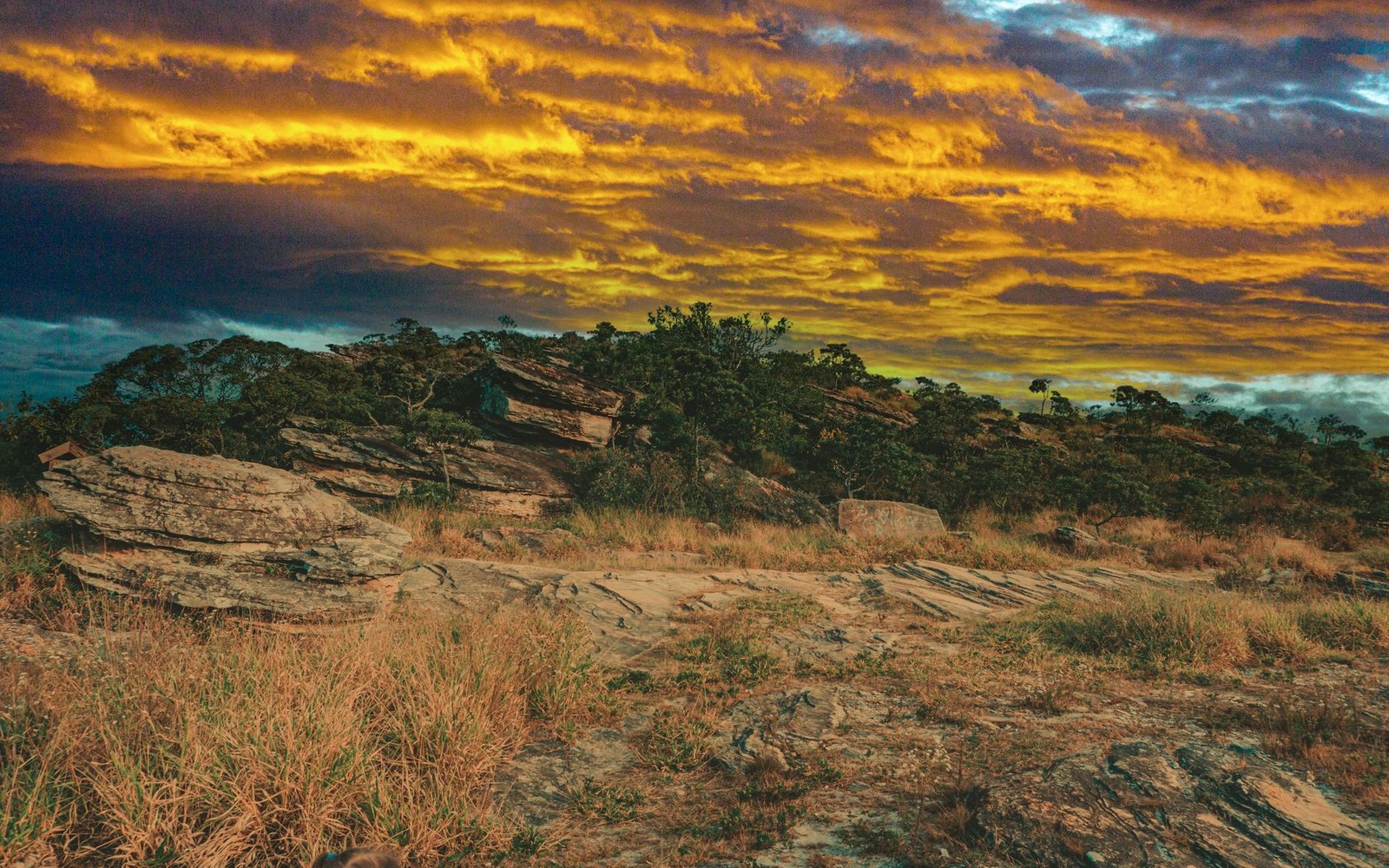
What produces such an exceptional drop is not merely the height of the tepui as a whole — Auyán-tepui's summit reaches roughly 2,450 metres above sea level — but the particular character of its sandstone edge. The Precambrian rock has been fractured over geological time by tectonic stress and chemical weathering, producing near-vertical joint planes. Erosion along those joints proceeds differently from erosion of the surrounding lowland: the quartzite and sandstone resist chemical weathering far more stubbornly than the softer sedimentary material that once surrounded them. The result, over two billion years, is a cliff face that is genuinely vertical rather than angled. When water crosses that edge, the trajectory carries it clear of the wall rather than sheeting down it, satisfying the strict criterion for free fall. A gentler, more graduated erosion profile would produce rapids and cascades; the sheer joint-plane cliff produces the longest unbroken plunge of water documented on the planet.
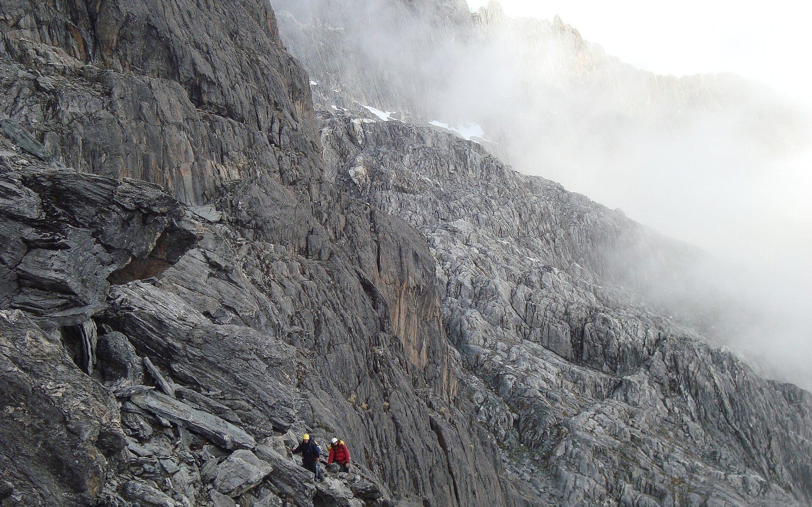
The falls are approximately 150 metres wide at the crest of the main drop, according to USGS data on the documented hydrology of the formation. The volume of water varies dramatically with season. The Llanos wet season, which drives heavy rainfall across the Guiana Highlands between May and November, can increase the falls to a roaring curtain visible from the air kilometres distant. During the dry months, flow reduces substantially; in some years, what reaches the base is partly a mist rather than a coherent stream, the water dispersed by wind and evaporation during the long descent.
The Name and the Landing
The falls carry the name of Jimmie Angel, an American aviator who landed his Flamingo monoplane on the summit of Auyán-tepui in October 1937. Angel had been searching for gold-bearing rivers in the region, and the landing — made on saturated, boggy terrain — left the aircraft mired. He and three companions walked off the tepui over eleven days through dense vegetation. The aircraft remained on the summit for thirty-three years before the Venezuelan Air Force recovered it. It now stands in the Museo de Aeronáutica de Maracay.
Angel was not the first person to document the falls — Venezuelan and foreign observers had noted the cascade before his flights — but his repeated overflights in the 1930s brought the waterfall to international attention, and his name attached itself to the feature through widespread usage. Venezuelan geography uses the name Kerepakupai Merú in Pemón, the language of the indigenous people of the Gran Sabana, meaning approximately "waterfall of the deepest place". Both names appear in current use; UNESCO's World Heritage documentation acknowledges the indigenous nomenclature.
The Park and the Rock Around It
Canaima National Park as a whole preserves not only Angel Falls but a landscape in which tepui geology defines everything visible. More than a dozen major tepuis stand within the park boundaries, each one an isolated massif with its own endemic plant and animal communities shaped by long evolutionary separation. The sandstone substrate, poor in nutrients and subject to extreme drainage, produces vegetation assemblages found nowhere else on Earth — carnivorous plants, specialised bromeliads, mosses adapted to near-constant moisture — all of them evolved in place after the tepuis were cut off from surrounding lowlands. INPARQUES, Venezuela's national parks authority, administers the park on the ground, while UNESCO's designation establishes its status in international conservation frameworks.
The falls themselves are experienced from the river, typically approached by motorised dugout along the Churún from the Canaima lagoon. At the base, the water column that began its free fall 807 metres above arrives as a cold, oxygen-saturated current that has collected fine sandstone particles from the cliff face. The impact at the base is visible as a permanent plume of mist, creating localised humidity that sustains mosses and ferns close to the pool even during dry-season conditions when the surrounding savanna is parched. The rock that makes the fall possible — Precambrian sandstone, two billion years in the making — continues to erode at the base just as it has always done, incrementally reshaping the edge from which the water next falls.