The Summit and Its Number
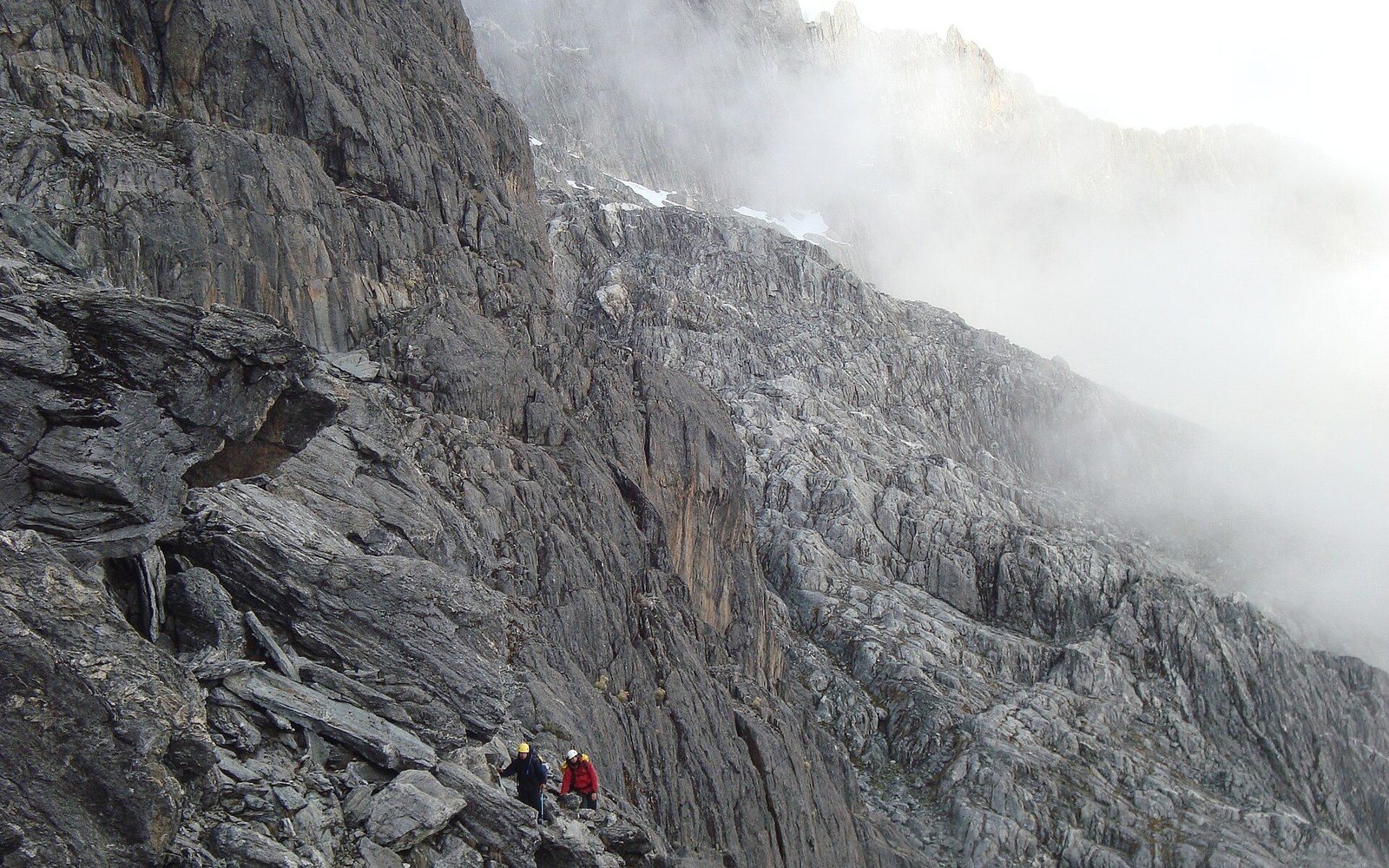
Pico Bolívar rises to 4,978 metres above sea level, a figure confirmed by SRTM (Shuttle Radar Topography Mission) satellite data and consistent with Venezuelan geodetic surveys. It is the highest point in the country, anchoring the Sierra Nevada de Mérida within the broader Andes cordillera that runs through the state of Mérida in the west. The summit is glaciated — or was: the small ice cap that persisted through the twentieth century has retreated dramatically, and glaciologists tracking Andean tropical glaciers now classify what remains as a relic. The peak carries a bronze bust of Simón Bolívar, installed at an elevation that makes it one of the highest such monuments on the continent.
Below the snowline, and extending from the upper forest margin at roughly 3,000 metres up to the snowline, lies the páramo — the high-altitude Andean ecosystem defined by grassland, mosses, and the distinctive frailejón (Espeletia spp.), a tall rosette plant whose silver-haired leaves manage water and temperature at heights where frost arrives on most nights. The Venezuelan páramo of the Mérida Andes is among the most species-rich expressions of this ecosystem in South America, harbouring endemic plants and insects adapted to intense ultraviolet radiation and wide daily temperature swings. The páramo biome sits above the cloud line, in a band where visibility can drop to a few metres within minutes and clear skies follow just as abruptly.
Four Stations, One Ascent
The Mérida cable car — known in Spanish as the teleférico de Mérida — opened in 1960 as the world's highest and longest cable car system by the measures then applied. It was engineered and manufactured in Austria and runs from the city of Mérida at approximately 1,577 metres through five stations: Barinitas, La Montaña, La Aguada, Loma Redonda and Pico Espejo, the terminal station at 4,765 metres. Pico Espejo is not Pico Bolívar — it is a separate summit — but it sits close enough for the final approach to Bolívar to be made on foot by those equipped for high-altitude conditions.
The system operated continuously until mechanical and structural wear made a full rebuild unavoidable. Work began on a replacement in the 2000s, and the rebuilt system, with new Swiss-manufactured cabins and overhauled infrastructure at each station, reopened in 2016 after a closure of nearly a decade. The new cabins carry a substantial number of passengers and the ride through all four stages takes roughly one hour, climbing nearly 3,200 metres of vertical interval over a horizontal distance of about 12.5 kilometres. Each intermediate station occupies a distinct vegetation zone: the lower stations pass through cloud forest; by La Aguada the traveller is in open páramo; at Pico Espejo the landscape is rock, thin soil and sky.
What the Stations Record
The cable car's stations function incidentally as an elevation transect through one of the Americas' most compressed ecological gradients. Temperature drops by approximately 6 °C for every 1,000 metres of ascent, and the transitions in plant life — from humid montane forest to frailejón grassland to bare rock — are visible from the cabin windows without instruments. INPARQUES, the national parks authority, administers the surrounding Sierra Nevada National Park, established in 1952, which encompasses Pico Bolívar and the high páramo under formal protection. The park's upper zones are among the few places in Venezuela where the Andean condor has been documented as an occasional visitor, though breeding populations are not established there.
The summit itself remains a fixed measurement: 4,978 metres, rock and thinning ice, the ceiling of Venezuelan geography.