Geology Written in Colour
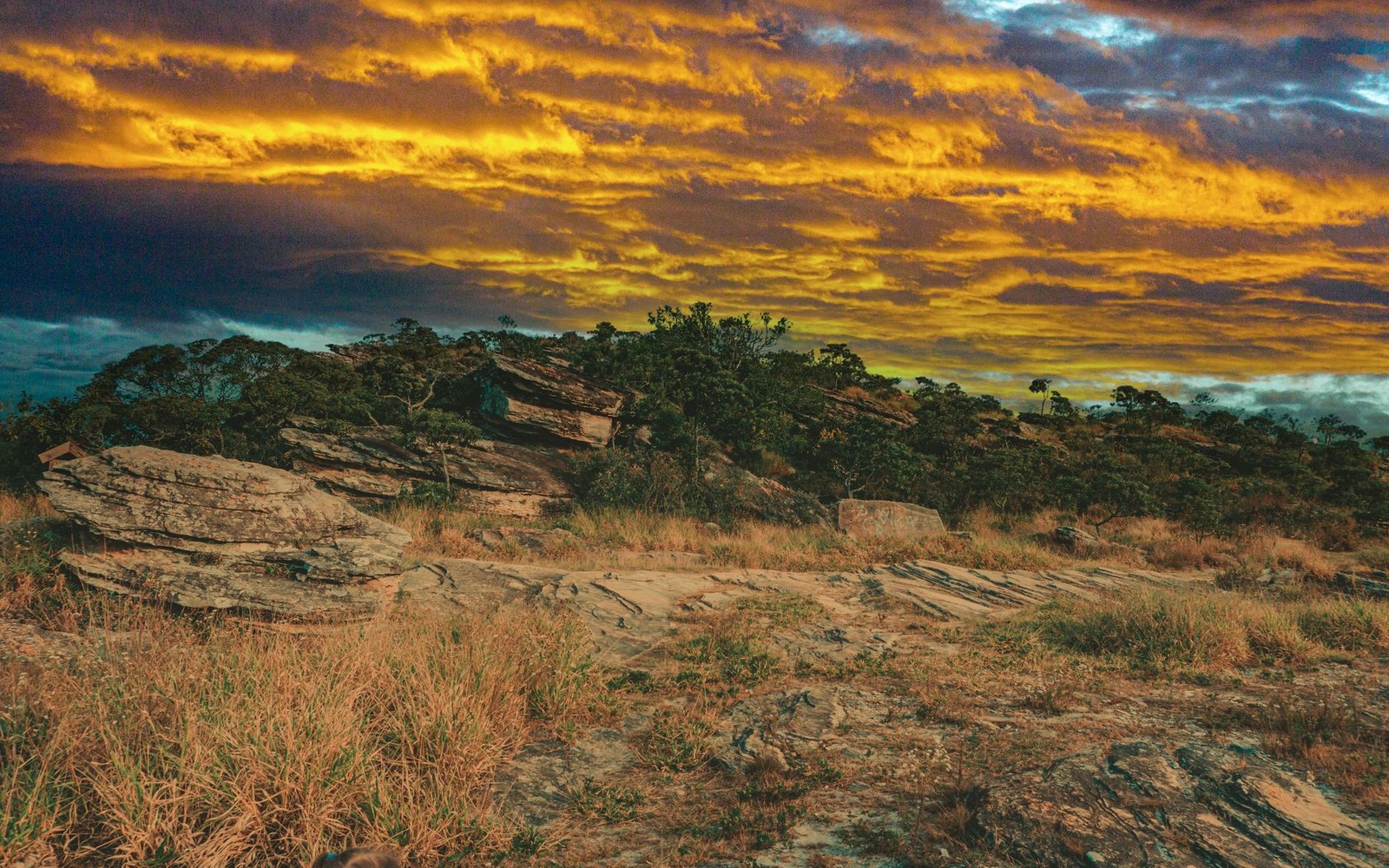
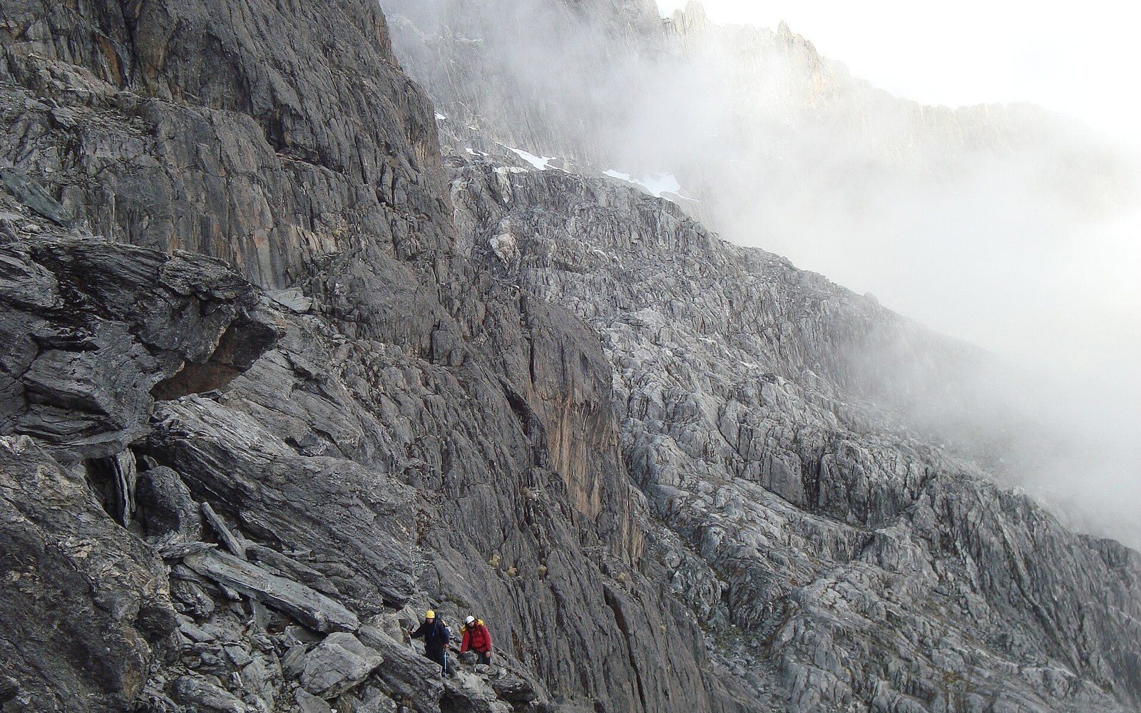
The Gran Sabana occupies roughly 10,000 square kilometres of south-eastern Venezuela, forming the elevated heart of the Guiana Highlands within Canaima National Park, a UNESCO World Heritage Site since 1994. Its basement is ancient even by geological standards: the quartzite and sandstone that underlie the plateau were laid down more than 1.7 billion years ago during the Precambrian, making this one of the oldest continuously exposed land surfaces in the Americas. Erosion over that immense span has stripped away softer material and left the hard tabletop remnants now called tepuis — flat-topped mesas rising abruptly from the surrounding plain — while the Gran Sabana itself constitutes the high rolling plain from which they emerge.
The signature red of the landscape comes primarily from jasper, an iron-rich microcrystalline quartz that outcrops extensively across the plateau. These formations stain road cuttings, riverbanks and hillsides a deep oxide red, contrasting sharply with the bleached gold of the tall savanna grasses. Ancient Precambrian ironstone caps and quartz-veined boulders dot the open terrain, some of them polished smooth by centuries of seasonal flood and fire. The IUCN's habitat assessment of Canaima classifies this surface geology as a key driver of the region's exceptional endemism: the nutrient-poor, lateritic soils that develop over the jasper and quartzite substrates favour highly specialised plant communities found nowhere else on the planet.
Waters Stained by the Forest
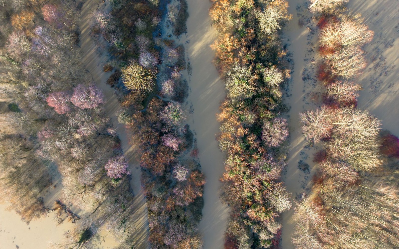
The rivers that drain the Gran Sabana carry a visual signature as striking as the rock: water the colour of dark tea, sometimes verging on black, running clear rather than turbid. This colouration results not from suspended sediment but from dissolved organic compounds — primarily tannins and humic acids leached from decomposing plant matter in the riparian and forest zones upstream. The process is identical to that which darkens the upper Rio Negro in the Amazon basin, and Alexander von Humboldt noted the same phenomenon during his 1799–1800 Venezuelan expedition when he encountered blackwater tributaries of the Orinoco system.
The Gran Sabana's rivers feed ultimately into the Caroní, one of the Orinoco's most voluminous right-bank tributaries, which drains approximately 95,000 square kilometres of the Guiana Highlands according to Venezuelan Ministry of Environment survey records. Their very softness — low mineral content, low pH — makes them chemically hostile to many organisms but ideal for the specialist fish fauna of the Guiana Shield, including numerous endemic species of the genus Crenicichla and several undescribed members of the family Loricariidae documented in IUCN freshwater habitat assessments of the region.
The waterfalls of the Gran Sabana are among Venezuela's most catalogued natural features. Salto Kama, Salto Yuruaní and the broad curtain of Salto Aponguao all descend over ancient quartzite ledges, their spray sustaining gallery-forest corridors that shelter species otherwise absent from the surrounding open savanna.
Fire and the Grassland's Maintenance Cycle
The yellow grass that covers much of the Gran Sabana is not a climax vegetation but a maintained one. Indigenous Pemon communities have practised seasonal burning here for centuries, and Venezuelan Ministry of Environment records identify anthropogenic fire as the dominant mechanism sustaining open savanna in areas that would otherwise succeed toward scrub woodland. Dry-season burns, typically set between December and March, reset the grass layer, suppress woody encroachment and stimulate fresh growth that supports deer, giant anteaters and the bird fauna of open savanna.
The interaction between fire regime, thin lateritic soil and the underlying geology creates what ecologists describe as a fire-adapted landscape under IUCN habitat category 2.1 (dry savanna): one in which regular disturbance is not degradation but the condition of ecological stability. Remove the fires and the savanna contracts; sustain them and the plateau remains the open, visually elemental terrain — red rock, black water, yellow grass — that has persisted here since before complex life existed anywhere on Earth.